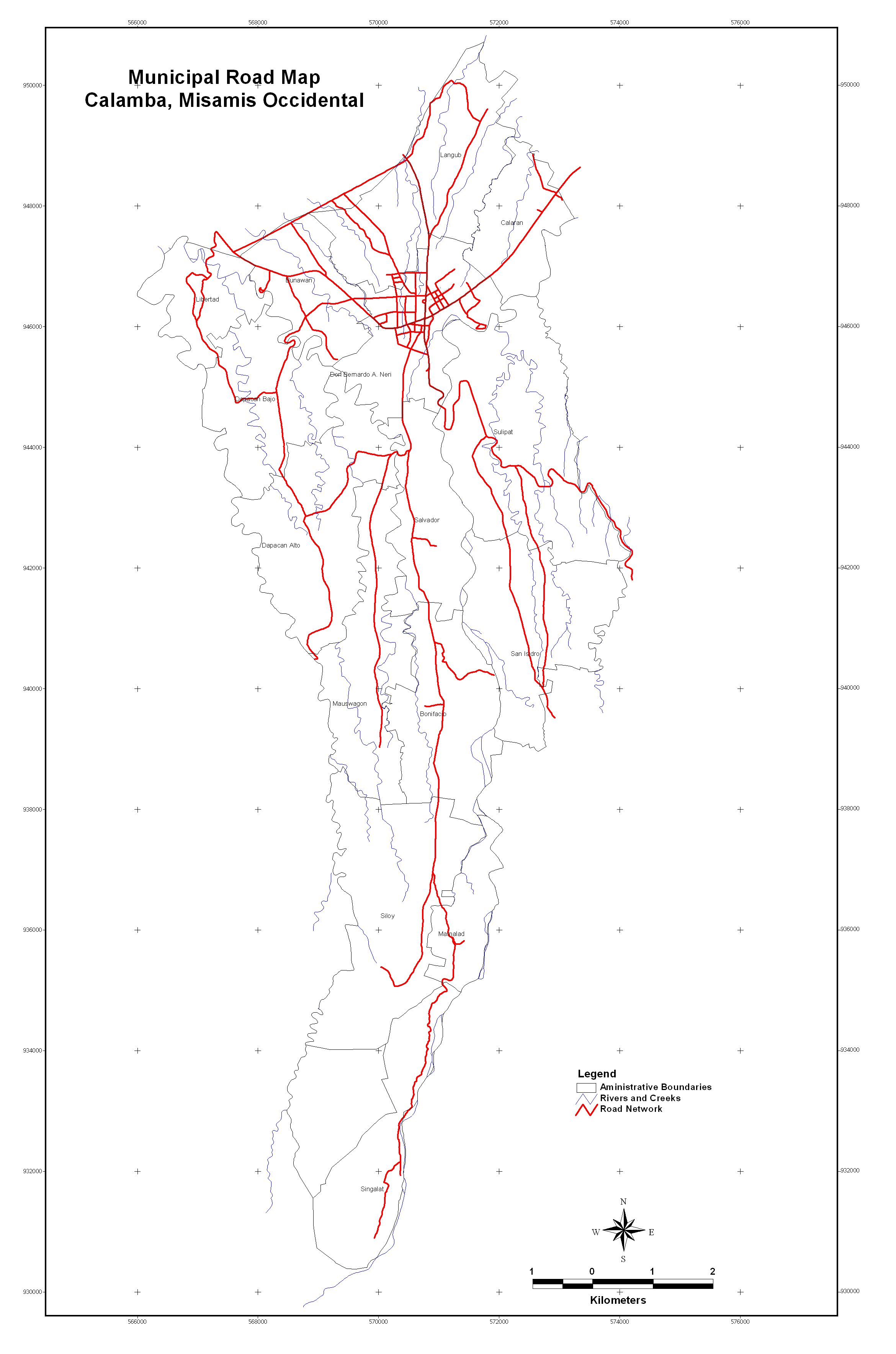
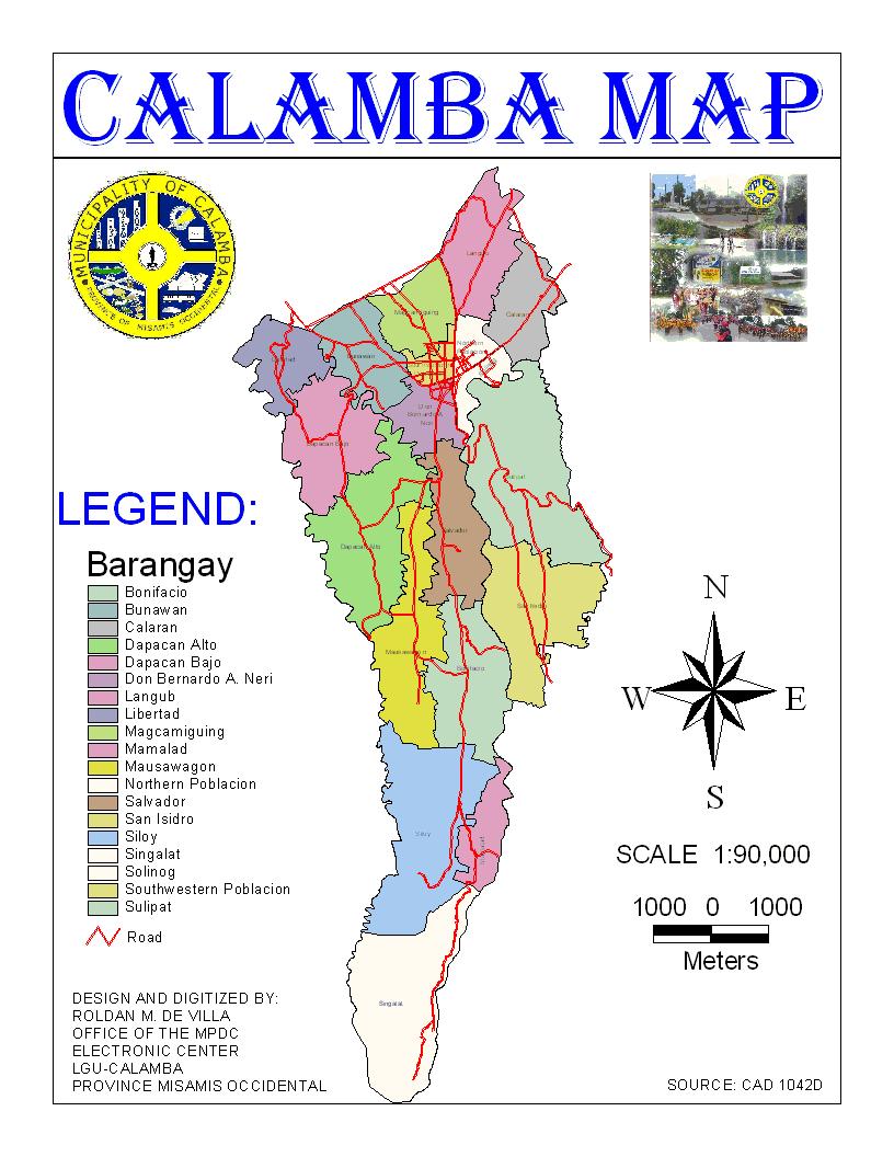
Geographic Location of Calamba
The municipality of Calamba is geographically located in the Northern part of the Province of Misamis Occidental, with the grid approximately 8°31’58” North latitude and 123°39’03” East longitude along the National Highway leading from Ozamiz City to Oroquieta City and to Dipolog City of Zamboanga del Norte. It is the center of the five municipalities considering that it is bounded by the Municipality of Baliangao on the North; Municipality of Concepcion on the South; Municipality of Plaridel on the North East; Municipality of Lopez Jaena on the South East and Municipality of Sapang Dalaga on the West.